

Montrose Ravine, Leicester
Selected Wild Place / Other Wild Places / Public Rights of Way / VC55 boundary
Private
Site species count:
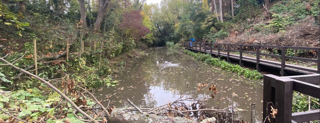
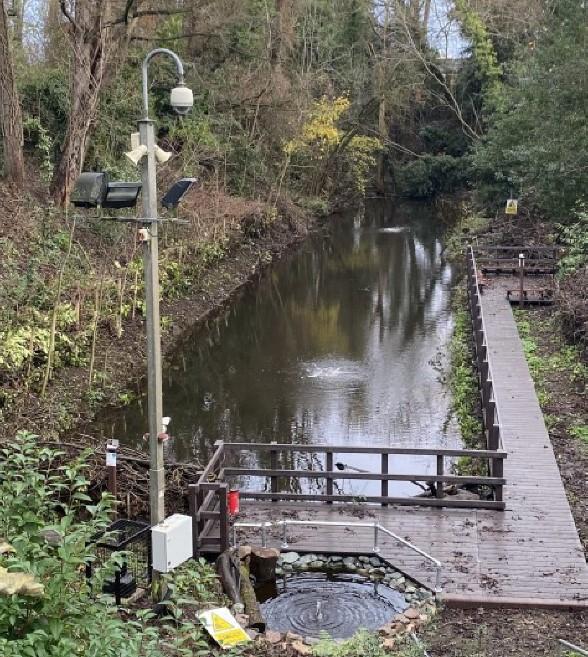
Nestled between Montrose School and the playing fields is a rather unique feature: a ravine. This pit was, in all likelihood, used as a grab pit during the construction of the Great Central Way. Over time, it has been colonised by nature: Leicester’s clay soils have supported the creation of a lake at the bottom of the ravine, and its banks have become home to an array of flora. Over time, the lake became completely shaded and so work was carried out to allow more light to enter the ravine. Additional interventions to enhance the biodiversity of the site have included cleaning duckweed, installing erosion barriers (via the creation of dead hedges), tree planting, building a hibernaculum for amphibians and installing bird and bat boxes.
The records and images below may include those from adjacent sites if the grid reference submitted with these records overlaps the boundary of this Wild Place.
The latest images and records displayed below include those awaiting verification checks so we cannot guarantee that every identification is correct. Once accepted, the record displays a green tick.
In the Latest Records section, click on the header to sort A-Z, and again to sort Z-A. Use the header boxes to filter the list.